| Landslides / Creeping Slopes | |||
|
|
Landslides and soil creep
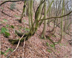
Creeping slopes and landslides are significant geo-hazards that damage infrastructure, constructed landscapes and other protected properties. They are prone to occur following heavy and persistent rainfall in the spring seasons, and frequently cause problems with varying degrees of severity. Landslide and soil creep prediction maps can be used as excellent planning tools for resource management in support of the introduction of necessary mitigation strategies, to reduce existing risks and to limit planning errors. |
||
|
In the Weißeritz valley, a project was initiated to run a comprehensive analysis on the slope exposure to the development of sliding and creeping processes. The project considered important initiating factors, such as elevation, surfaces underground that were prone to sliding, land cover types and the characteristics of rocks and soils. The neural networks were trained with collected field data on known areas, which had been damaged. The results were plotted on aerial photographs and high resolution topographic maps for more in-depth analyses and additional consideration. |
|||
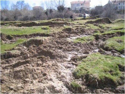
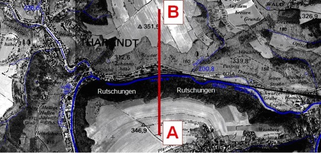 Figure 2: Aerial image of project area Figure 2: Aerial image of project area |
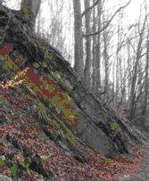
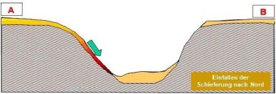 Figure 3: Advanced slope creep Figure 3: Advanced slope creepin the southern valley |
||||
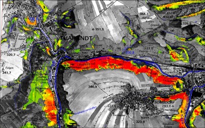 Figure 4: Modelling of the probabilities of slope creep Figure 4: Modelling of the probabilities of slope creep |
|
||||