
 |
|
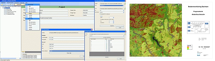
advangeo® Erosion
|
|
The extension advangeo® Erosion was developed for advangeo® Prediction Software to calculate erosion caused geohazards. It offers automatic derivation of the various parameters of the elevation model. Soil parameters, land use or geological parameters can be automatically generated from existing grids and shapefiles. The workflow is always easy to understand for each step of data processing, starting with the import of source data and up to the creation of model input data. For the following influencing factors processing tools are provided:
|
| advangeo® Flyer |
Prediction map of erosion endangered areas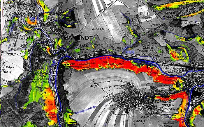 |
Landslide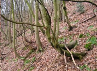 Gully erosion Gully erosion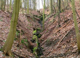 |