
Results of Master thesis about spatial prediction of bird species frequency with advangeo® published
24th October 2012, Dresden/ Freiberg (DEU)
Between April and September 2012, Ms Teresa Sühnel worked with advangeo® prediction software in the frame of her Master thesis about “GIS-based analysis of the relations between habitat/land use types and breeding sites of selected bird species“ at HTW Dresden (University of Applied Sciences, Faculty for Geoinformation). Ms Sühnel studied data of a bird mapping campaign in Dresden with ArcGIS to analyse the relation to other spatial datasets, e.g. the country-wide digital habitat and land use map and a digital map of sealed/ paved surfaces. Based on these relationships, she used advangeo® to (spatially) predict species composition and frequency on another map sheet south of Dresden. The prediction was compared to a mapping campaign and the results evaluated; data as well as methods. Recommendations were given for future bird distribution estimations with GIS.
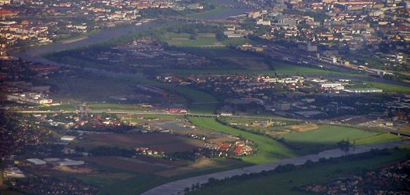
Aerial Image of Investigation Area Dresden. Photo: F. Schmidt, May 2006
The results of this study will be published later this year in:
- Sühnel, T., Schmidt, F. (2013): Analyse der Zusammenhänge zwischen Biotoptyp- u. Landnutzungsdaten sowie Revieren verschiedener Vogelarten mit Hilfe von Geo-Informationssystemen und neuronalen Netzen. Actitis, Heft 47/2012. Hrsg: NABU Landesverband Sachsen e.V.
Contact: Frank Schmidt